


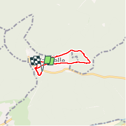
La Vancelle - Anneau bleu

VacheKiri67
User

Length
4.2 km

Max alt
513 m

Uphill gradient
132 m
Km-Effort
5.9 km

Min alt
392 m

Downhill gradient
132 m
Boucle
Yes
Creation date :
2015-05-25 00:00:00.0
Updated on :
2015-05-25 00:00:00.0
1h02
Difficulty : Easy

FREE GPS app for hiking
 SityTrail
IGN / Geographical institutes
SityTrail Plus
The world is yours!
About
Trail Walking of 4.2 km to be discovered at Grand Est, Bas-Rhin, La Vancelle. This trail is proposed by VacheKiri67.
Description
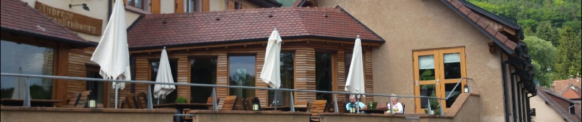
Faite le 23/05/2015. Petite promenade digestive après avoir déjeuné à l'excellente Auberge Frankenbourg http://www.frankenbourg.com
Photos


Positioning
Country:
France
Region :
Grand Est
Department/Province :
Bas-Rhin
Municipality :
La Vancelle
Location:
Unknown
Start:(Dec)
Start:(UTM)
374149 ; 5349294 (32U) N.
Comments